Hanover Conservancy

Facebook logo   Instagram   YouTube          
Donate button
  • Home
  • About Us
    • Celebrating 60 Years
    • What We Do
      • Advocacy
      • Conservation
      • Education
      • Stewardship
    • Board & Staff
    • Membership Benefits
    • Contact Us
  • Get Outdoors
    • Hanover Lands
      • Balch Hill Natural Area
      • Mink Brook Nature Preserve
      • Other Properties
    • Hanover Hikes
    • Hanover Trails Challenge
    • Upper Valley Hikes
    • Exploring Nature at Home
    • Hunting
  • Events
    • Calendar
    • Spring Wildflower Scavenger Hunt
    • Private Events
  • Get Involved
    • Donate
    • Volunteer
    • Adopt a Trail
    • Corporate Conservators
    • Planned Giving
  • Education
    • School Programs
      • KAST
      • Connecticut River Studies
      • Hanover High School Scholarship
    • Request a Field Trip or Speaker
    • Research on Our Lands
    • Hanover History
    • Resources
  • News
    • Remembering Bob Norman
    • Reports & e-News
  • Conserve Your Land

Mayor-Niles Forest

Mayor-Niles gate

Set on Moose Mountain, the 92-acre Mayor-Niles Forest is the gift of Michael and Elizabeth Mayor and John Niles, who owned the land for 30 years. The forested parcel cloaks the west slope of this iconic ridge just below the North Peak, connecting with National Park Service lands surrounding the Appalachian Trail. One need not visit the property to enjoy it – it is easily visible from many parts of town and even from Vermont, part of the scenic view of Moose Mountain that forms a beautiful backdrop to the town of Hanover.

This property provides an unbroken link in valuable wildlife habitat and expands the protected high elevation lands that are key to conferring resilience to climate change. These cooler forests will become an increasingly critical refuge for birds and other wildlife.

The Mayor-Niles Forest also supports flood security for neighborhoods below by protecting three streams that flow into Hewes Brook. Forested headwaters regulate flow and are the first line of defense against microbursts and washouts. Shaded banks also contribute to a brook’s health downstream, by keeping water clear and cool for native brook trout.

Click the image to view guide

Mayor-Niles Map & Guide
Location Map

Geocaches

  • White Ledge
  • Tote Road
  • So This Is the Mayor-Niles Forest

How to get there

Parking for 3-4 cars is available at the end of Ibey Road, off the north end of Three Mile Road. 

  • Trails and Uses
  • Special Features
  • History
  • Treasure Hunts
  • Wildlife
  • Plants
  • Costs and Care

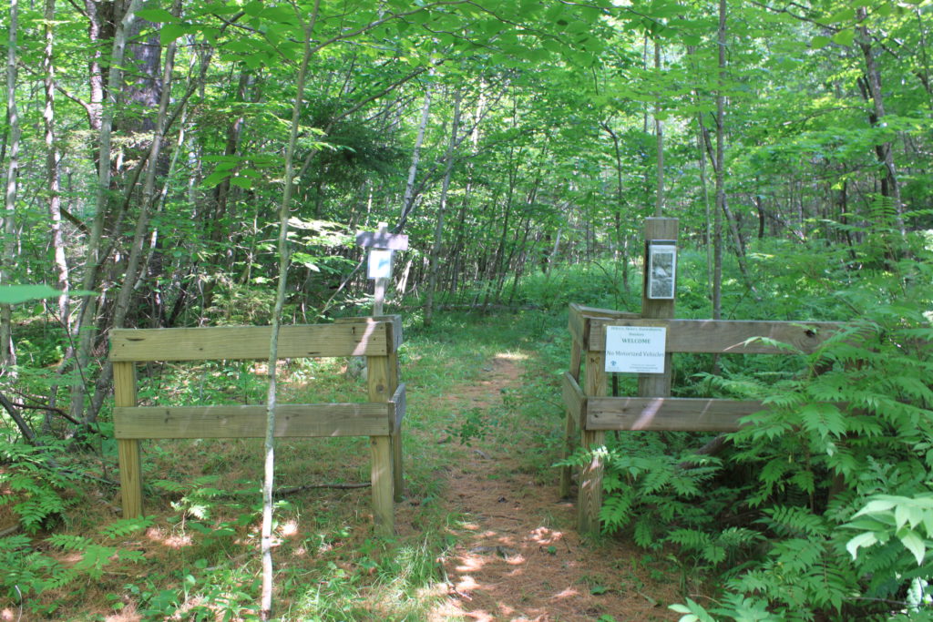
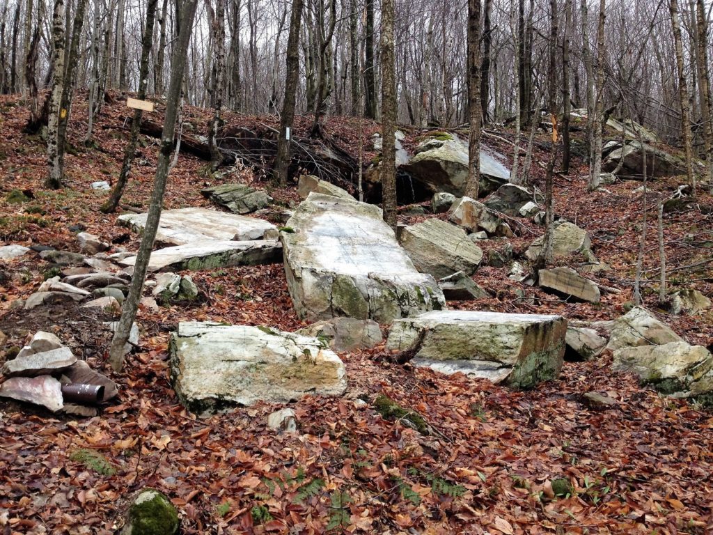
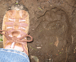
The Mayor-Niles Forest is open at all seasons for recreation, including hunting.  An old tote path leads up through the property and stone wall-lined Plummer Road, a Class VI road, forms one border. We added two new trails in 2016, the Two Brooks Loop, and the White Ledges Trail. Download the map and guide above for full trail descriptions.

White ledges at Mayor-Niles

Dramatic white quartzite ledges are found at the eastern boundary, a steep hike up on the Tote Road and White Ledges Trail.

HC President Nancy Collier with Michael and Lili Mayor and our new property sign

Set on Moose Mountain, the 92-acre Mayor-Niles Forest is the gift of Michael and Elizabeth Mayor and John Niles, who owned the land for 30 years. “I’m hoping this might result in a growing momentum to others who own land like that to consider a similar donation or at least the establishment of a conservation easement to contribute to the wildlife,” observed donor Michael Mayor.

M-Niles

Support for the project came from the Conservancy’s Strategic Land Action Fund and the Quabbin to Cardigan Partnership (Q2C). The Conservancy is establishing the Moose Mountain Stewardship Fund to help us care for our lands in this remote region of town. Please consider a gift to this fund.

Geocaches:

  • White Ledge
  • Tote Road
  • So This Is the Mayor-Niles Forest

Enjoy this wonderful slideshow on photographer Jim Block’s blog (Tug Hill Photography). Jim, a longtime Conservancy supporter, joined a guided hike led by naturalist Alcott Smith in winter 2014.

bear-track
Bear track

This property provides an unbroken link in valuable wildlife habitat and expands the protected high elevation lands that are key to conferring resilience to climate change. These cooler forests will become an increasingly critical refuge for birds and other wildlife. Moose, bear, snowshoe hare, red fox, grouse, deer, and bobcat inhabit the Mayor-Niles Forest.

The Mayor-Niles Forest also supports flood security for neighborhoods below by protecting three streams that flow into Hewes Brook. Forested headwaters regulate flow and are the first line of defense against microbursts and washouts. Shaded banks also contribute to a brook’s health downstream, by keeping water clear and cool for native brook trout.

Related Articles

Headwaters Forest Spring Loop May 1, 2025
Spring trips announced! March 31, 2025
Pasture Road Peregrinations June 30, 2022
  • 1
  • 2
  • 3
  • 4
  • 5

71 Lyme Road
Hanover, NH 03755
(603) 643-3433

info@hanoverconservancy.org

Facebook logo   Instagram   YouTube

Get Involved

Become a Member

Volunteer

Business Sponsors

Conserve Your Land

Employment

Our Mission

Advocacy

Conservation

Education

Stewardship

Explore Hanover

Hanover Hikes

Upcoming Events

Upper Valley Hikes

Trails Challenge

Copyright © 2025 Hanover Conservancy | Design by Chase Brook Software